These new NASA satellite images of the wildfires show the area between Los Angeles and San Diego, California. Fire activity is denoted with red pixels. Vast plumes of thick smoke can be seen blowing out over the Pacific Ocean.
thats crazy.
These new NASA satellite images of the wildfires show the area between Los Angeles and San Diego, California. Fire activity is denoted with red pixels. Vast plumes of thick smoke can be seen blowing out over the Pacific Ocean.
thats crazy.
Wow, looks like Hawaii will be smelling the smoke soon.
oh wow.
Crazy
damn. that is crazy
Wild.
wow
I was watchin the news yesterday and they said more than 1 million people are evacuated from their homes, that number is just insane thats more than Katrina
the end is comming… first … the red sox finally won the world series… then its was hurricanes and floods…now its fires…
i mean i feel really bad for the people who lost stuff/lives… but its california…
Where’s the Plagues? I need to see some Plagues before I will buy that!
(BTW, nice photo finds).
MRSA :dunno:
crazy. I always thought fire burned cold, but thanks to these thermal images I now know that fire is hot. Thanks Starboy!
Crazy is the “enviro-mental” libs that cry all day long about car exhaust, and cow farts. But enable such raging fires with their improper eco maintenance policy’s. Thats allot of smoke!
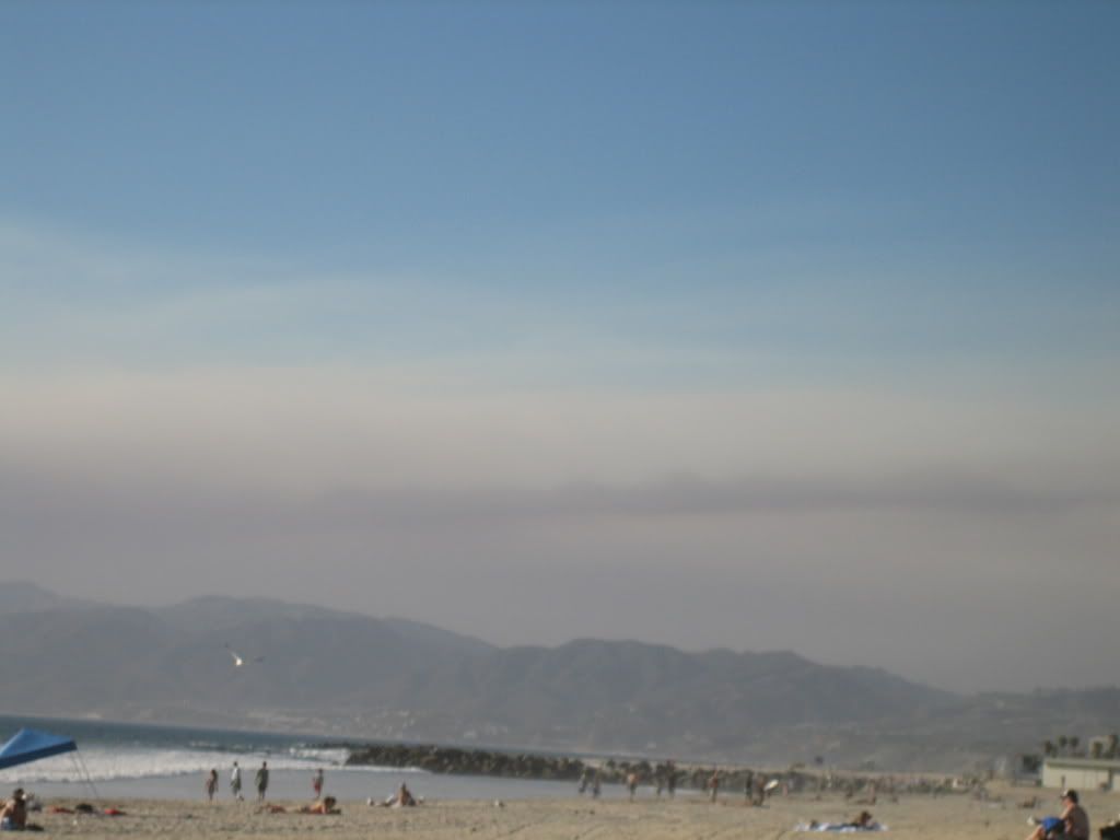
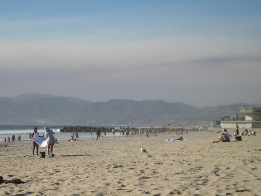
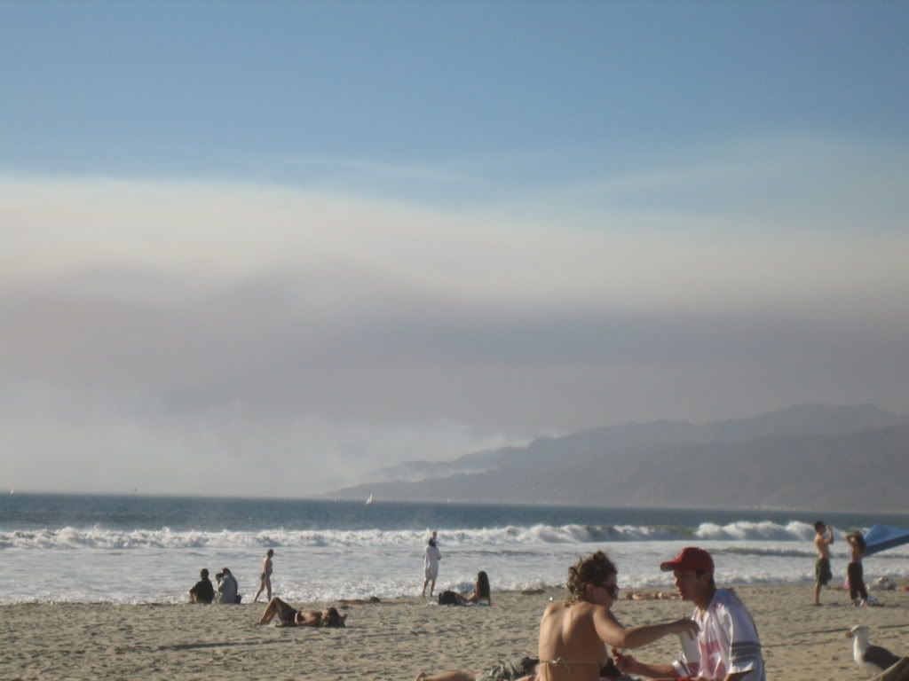
I was just in SoCal last week, flew home on Monday. Sunday I was on the beach in Marina del Rey, you could see smoke coming off the hills and later in the day there was a haze of smoke over the beach, obviously you could smell it too. :hsugh:
Pics
wow…nice pix find nick. Are they Google Earth images in real time?
fire
if everyone gets there water hoses together, they could put it out… they just dont want to
/california
i’m trying to give a damn
http://news.yahoo.com/s/ap/20071031/ap_on_re_us/california_wildfires
…and the plot thickens. They should prosecute the parents for not having control of the kid?
its teh liberals fault